Enhance GIS Skills of 30th RABS Basic Qualifying Course
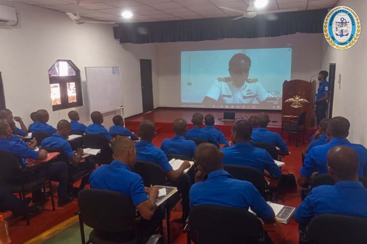
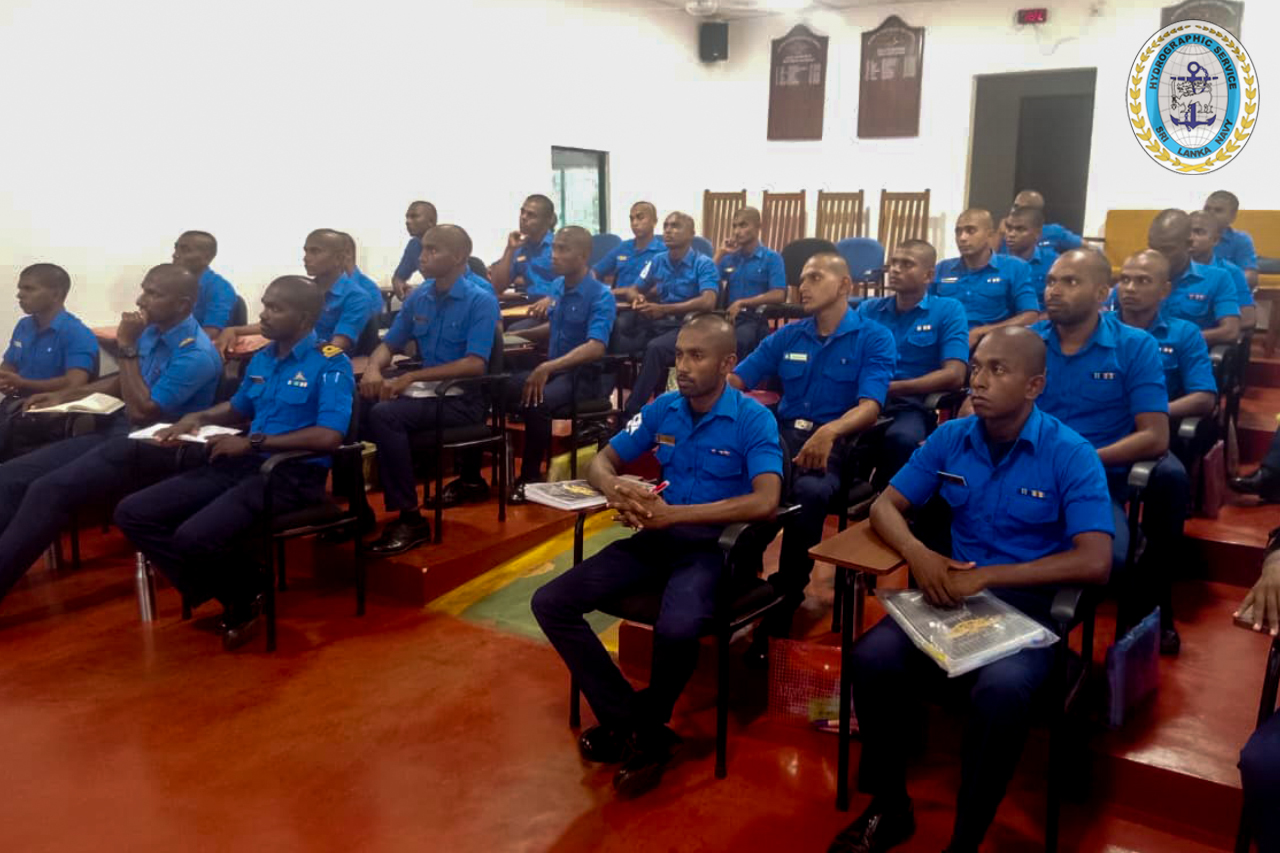
On 22nd April 2026, a specialized virtual training session on Geographic Information Systems (GIS) was successfully conducted for the trainees of the 30th Rapid Action Boat Squadron (RABS) Basic Qualifying Course.
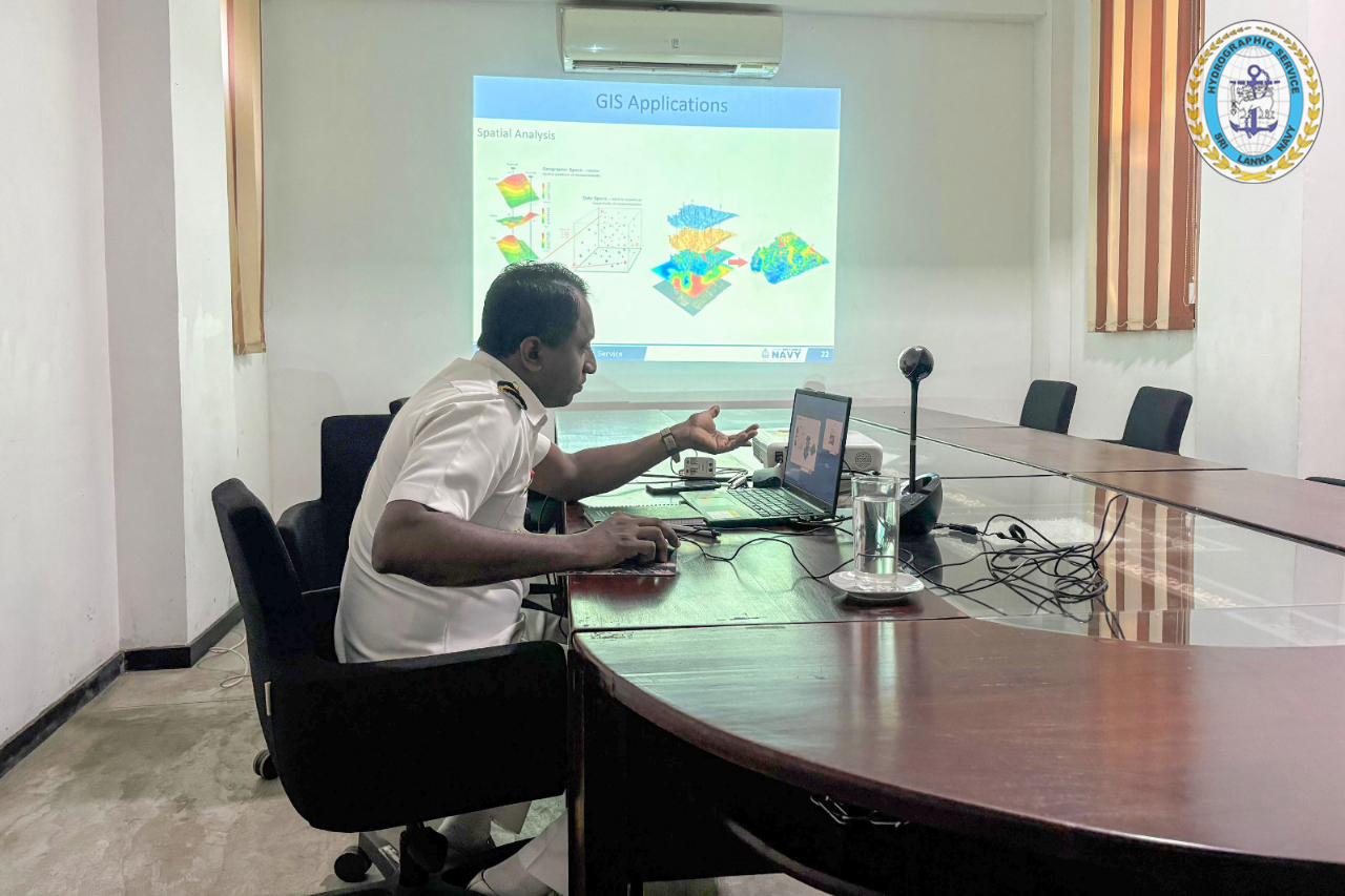
The session was delivered by Commander(H) HMNM Herath,psc of the Sri Lanka Navy Hydrographic Service (SLNHS), who conducted a comprehensive theoretical presentation on GIS, highlighting its significance in modern naval operations and informed decision-making.
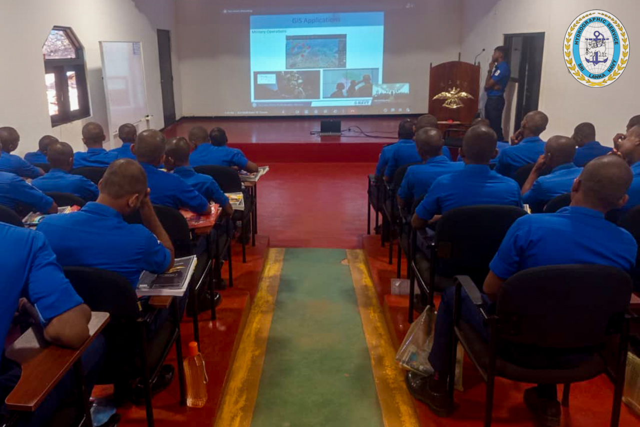
As part of the session, practical exposure was also provided on the effective use of Google Earth for operational planning and presentation. The virtual demonstration enabled trainees to gain valuable insights into the application of geospatial tools for terrain analysis, mission planning, and operational support.
The interactive training session significantly enhanced the participants understanding of GIS applications, equipping them with essential knowledge to integrate geospatial technologies into operational environments. It also underscored the importance of GIS in supporting disaster response, maritime security, and tactical planning.
Images